
Who Owns Property Near a Monroe County Address?
A block-level search in Monroe County takes patience. Assessor parcel records, deed instruments, and plats each hold one piece of the picture. The county directory lists assessor, tax, clerk, and mapping or floodplain contacts, but it offers no public GIS viewer with radius or adjacent-parcel tools. Start with an address. Identify each nearby parcel from a plat or other map reference, then run that parcel through the State Auditor's real-property form on its own. The result is ownership records. It is not a resident list for the block.
| Record source | What it can establish about nearby land | How to reach it |
|---|---|---|
| Assessor / IAS real-property search | Parcel identifiers, owner-name fields and available situs information for a parcel | Search each known parcel or address |
| Recorded deed or plat | Named parties, legal description, lot references and relationships stated in the instrument | Contact the County Clerk for index and copy guidance |
| County mapping contacts | Where to ask about mapping, floodplain information and parcel reference material | Use the county directory; ask what map material is available |
| Historic sources | Earlier landholders or neighborhood context where a dated record exists | Archives, catalogues and deed books; coverage varies |
The tax roll names the assessed owner. It may not name the occupant. A tenant, relative, or caretaker can live in the home while the deed sits elsewhere, and the mailing address often differs from the property address. Treat each entry as a lead. When the legal relationship matters, confirm it in the deed before relying on the roll.
Why Monroe County Has No One-Click Neighbor Map
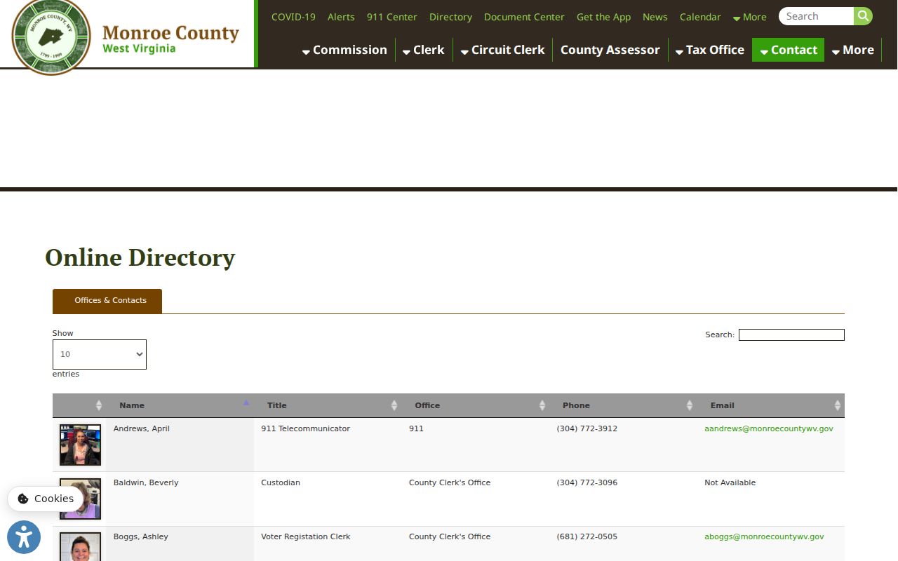
Monroe County has no one-click neighbor map. The county publishes no parcel viewer or GIS search address. No adjacent-parcel tool exists either. That matters when a search begins with "the house beside this one," because no public tool can select a house, buffer it, and list every surrounding parcel automatically. The county directory is still useful. It routes questions to mapping and floodplain staff rather than serving as an interactive ownership map. Ask those staff whether a paper map, plat, or other county reference covers the location in question.
The right contact is not the same as proof. Still, The Monroe County directory lists mapping and floodplain contacts for exactly that kind of question. Use it to reach the right office. Then carry the parcel key from whichever map record applies into individual owner searches.
Boundary questions need the recorded plat or survey. Match it to the deed description. A street address, an aerial image, or a tax-map line is not a legal survey, so none of them can settle a fence, access, or encroachment dispute.
Build a Monroe County Neighbor Lookup One Parcel at a Time
Build the lookup outward from one parcel. The method is slower than a radius query. It keeps every step tied to traceable Monroe County public records instead of guesses drawn from rooftops or road frontage.
- Find the subject parcel in the State Auditor's form using its address, owner, or parcel number. Note the district, map, parcel, subparcel, and any book/page values that appear.
- Obtain a recorded plat, map reference, deed description, or other county mapping material that identifies adjoining lots. If no map is online, contact the county mapping or Clerk office and explain the parcel and records needed.
- Write down each adjacent parcel number separately. Where the plat gives only lot names or adjoining owners, preserve that wording and request the recorded instrument cited by the plat.
- Search each parcel in the public real-property form. Compare owner-name fields and property descriptions rather than assuming that similar street addresses refer to the same lot.
- For a legal question, obtain the recorded deeds and have a surveyor or title professional interpret the chain and boundary calls.
- Parcel
- A separately identified tax or land unit in the county's records; it is not always the same as one building or street address.
- Adjacent parcel
- Land described as sharing a boundary with the subject parcel in a map or legal record.
- Buffer
- A distance around a selected feature. No Monroe County public buffer search was verified in the research.
- Plat
- A recorded drawing or map showing lots, easements, roads, or survey information as stated in that document.
Rural Roads, Long Frontages, and Parcel Neighbors
Monroe County land can be rural and irregularly shaped. It is often described in old survey calls rather than numbered subdivision lots. Aerial photos mislead. The closest-looking house may not share a line. A large tract across the road can be the adjoining legal parcel instead. Another residence may sit nearer and mean nothing legally. Streams, ridge lines, road rights-of-way, easements, and old fence lines muddy a casual visual read. Let the deed or plat define "next door." The tax record then names its owner.
County sources publish no subdivision or HOA layer names. Do not treat a road name, rural community, or postal locality as a recorded subdivision. Check the deed instead. If it cites a lot, survey, or plat book, carry that exact description to the Clerk. Ask whether the referenced drawing exists. The Monroe County parcel maps guide covers map and legal-description limits in more depth.
What Neighbor Owner Records Include
The Auditor's form works without a GIS layer. Controls cover owner name, parcel location, and tax year. Names can fill two fields. Owner Name1 and Owner Name2 may each hold part of the record. The owner can be an individual, trust, estate, or company. That makes the roll a parcel index. It links one land identifier to assessment and owner fields, not to a verified household roster.
Confirm what the form means before leaning on it. The property search instructions explain each field in the Auditor's form. Deed references go through the Clerk. If the holder is an organization, the West Virginia Secretary of State's business search shows its registered details, though it will not reveal residents or every beneficial owner. A registered agent is a statutory contact, not proof of who owns the neighboring land.
Limits and Privacy in a Monroe County Neighbor Search
Public parcel records describe land and the person listed as owner of record. They say nothing about who actually lives there. Schedules, family ties, and private contact details stay out of view. West Virginia runs an Address Confidentiality Program that gives eligible participants a substitute address, so a protected address may not behave the way an ordinary address search expects. Never try to defeat a protection by piecing data together from multiple sources.
Use owner information lawfully. A Monroe County neighbor lookup can support boundary research, property due diligence, and understanding the surrounding land. Do not use owner information to watch, intimidate, threaten, or harass anyone; for a boundary dispute, use the Clerk's records and a licensed surveyor.
When to Ask the Monroe County Clerk for Help
A deed or plat may reference a neighbor's lot while the search form shows too little detail. When that happens, contact the Monroe County Clerk before ordering copies. The office maintains recorded instruments, including deeds and plats. It can also explain its index and copy process. No public deed-index portal is confirmed here. Coverage years remain unclear too. So ask directly. Can staff locate an instrument by grantor, grantee, book and page, parcel reference, or recording date? A focused request naming the known district, map, parcel, lot, and adjoining-owner wording is easier to route than "the house beside mine."
The Clerk's posted 2021 schedule lists recording fees and copy charges, but amounts change. Confirm current charges directly. For records not online, send a narrow request to whichever office holds the record under the West Virginia Freedom of Information Act, W.Va. Code §29B-1-3. For the deed index and fees, see Monroe County deed records.