
Reading Monroe County Parcel Maps
Monroe County publishes no official public GIS parcel viewer. There is no downloadable parcel data or layer list either. Directory material assigns 911 mapping and floodplain duties to county staff, though it says nothing about owner popups, aerial imagery, zoning layers, roads, or an adjacent-parcel tool. Those features may exist in county files. Until staff confirms them, assume nothing. Treat any proposed GIS layer as a wish rather than a working tool.
| Layer | What It Shows | Use |
|---|---|---|
| Public parcel layer | No public viewer was located | Ask county mapping staff for access |
| Tax parcel key | IAS exposes Parcel ID and jurisdiction inputs | Use the State Auditor real-property search |
| Recorded plat | Recorded map, lot/block, or dedication if filed | Request from Monroe County Clerk |
| Floodplain work | County directory and ordinance identify local functions | Ask 911 / floodplain staff; layer not verified |
| Aerial, zoning, adjacent tools | Not inspected or verified for a public viewer | Do not assume online availability |
When staff supply a map or parcel reference, carry the district, map, and parcel numbers into IAS. Then carry them into your deed request. The same goes for a legal description. A county map shows how land, roads, rivers, and floodplains relate to one another. The recorded plat and deed still control the record trail.
Monroe County Mapping Contact
The county directory names the local mapping leads. Tammy Fox serves as 911 Deputy Director for Mapping, Flood Plain, and EMS. Richard Miller is the Senior 911/OEM Director. Neither listing points to a public parcel viewer. It also lacks an open-data download, map search fields, or an export option. The Monroe County office directory gives the full contact route.
Ask the office what it can provide for a named property. Options include a working parcel map or an address assignment. A floodplain determination or retired parcel history may also be available. Describe the parcel with whatever you have. That could be an address, owner, district, map, parcel number, road, acreage, or a deed book and page.
Need a boundary opinion instead? Request the recorded plat or deed, then consult a licensed surveyor for the ground.
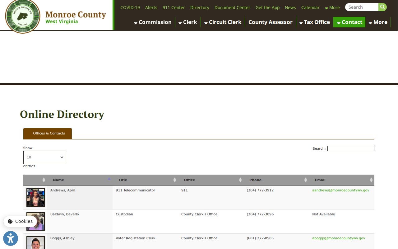
Where no public viewer exists, the county directory offers a human route to the mapping staff who can help.
Recorded Monroe County Plats
A subdivision plat is a recorded county-clerk instrument, so ask for the subdivision name first. Ask for the lot and block. Add the plat book or cabinet number. Dedications, right-of-way changes, and later vacations matter too. A working map held by planning or 911 staff can help locate the file, but the recorded version remains the reference for land research. The county fee schedule lists plats and maps among its record types, so confirm whether you need a recorded copy, a certified copy, or a working map.
Some Monroe County deeds skip lot and block. They use metes and bounds instead, following courses, distances, and acreage through survey calls, creeks, ridges, roads, and adjoining owners. An older deed may omit the parcel number entirely or point to a parent tract that was later split. Transcribe the calls as written. Compare them with the prior deed. The County Clerk’s page explains the custodian route for recorded plats and land instruments.
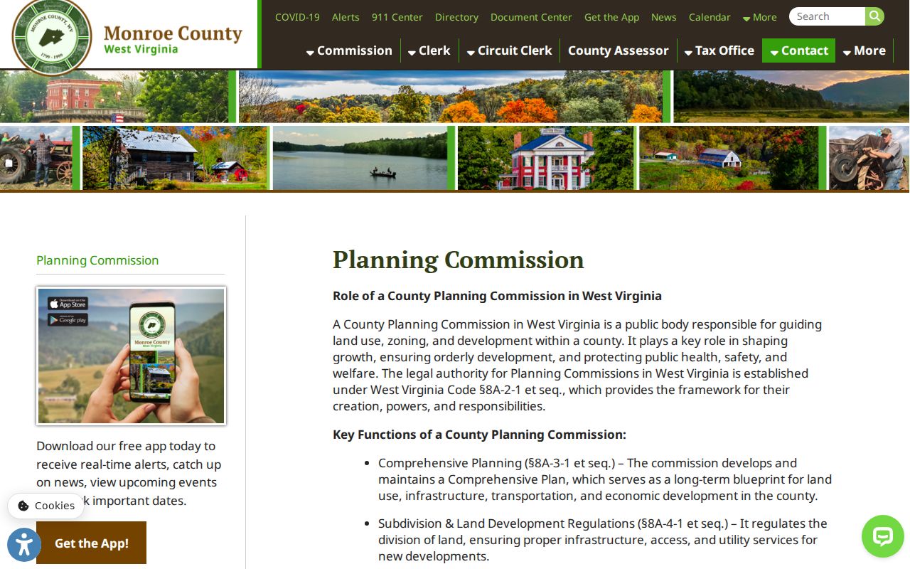
Planning approvals help you locate a subdivision file, while the County Clerk keeps the recorded plat itself.
Finding a Monroe County Parcel by Address
With no public viewer, start at the State Auditor's IAS real-property search. Some parcels are hard to place on the ground. Turn to the county's mapping contact for those. IAS accepts a parcel address, street, zip code, parcel ID, tax year, and jurisdiction. It also takes book and page. The official parcel-number format stays hidden, though. Search by a known address first. Write down the parcel key and tax year before moving on to another office.
- Search IAS by address, street, or ZIP and check jurisdiction rather than relying on the postal city.
- Copy the parcel ID, tax year, and any book/page clue; ask mapping staff for a working map if needed.
- Request the recorded deed or plat from the Clerk and compare its legal description to the parcel reference.
- Ask 911/floodplain staff for a locally held map or floodplain record; no public layer list was found.
- Parcel ID
- The tax or map account key; Monroe’s numeric pattern was not published.
- Plat
- A recorded map that can show lots, blocks, dedications, and rights-of-way.
- Lot and block
- A platted description tied to a named map or subdivision.
- Metes and bounds
- A land description built from courses, distances, monuments, and adjoining calls.
What Monroe County Parcel Maps Do Not Prove
A tax parcel polygon is reference geometry. It is not a survey. An online map cannot settle an encroachment or a corner. It cannot settle an acreage conflict or a line along a river. The recorded deed and plat carry the legal description. A licensed surveyor can mark the boundary on the ground. A floodplain map or planning record answers a different question.
Not a survey. Monroe County tax and mapping lines are only a starting reference. Use the recorded plat and a licensed surveyor before building near a line or settling a boundary dispute.
Rural Monroe County Descriptions
Monroe County is mountainous and rural, so an address may matter less than a deed's land calls. A tract can be described by acreage, a creek, a road, a ridge, a survey, an adjoining landowner, and courses and distances rather than lot and block. Roads and post-office communities change over time. A deed's earlier calls still work. Keep the original spelling, and look for a cited predecessor instrument.
Has the parcel changed size? Ask the Assessor or mapping staff for a retired or parent parcel reference, then compare the current account against the earlier deed and the recorded plat. Splits and mergers are common here. A current number can look new while the parent parcel holds a clear chain. For formal reliance, get a certified recorded plat. Use a surveyor for the ground location.
Monroe County Map and Parcel Keys
Monroe County parcel lookups run through two different systems. The IAS form offers a single Parcel ID field, while the State Auditor's land collections search splits its input into District, Map, Parcel, and Sub Parcel boxes. The exact Monroe formatting is not published. Never guess prefixes or digit meanings. Ask the Assessor or mapping office. Staff can explain how a local account number is written and whether a parcel carries a parent or retired identifier.
Book and page differ from a parcel number. One cites a recorded instrument; the other follows a tax or mapping account. A deed can predate the current parcel scheme. Likewise, a tax map may point toward a predecessor deed through its legal description, so keep both references together with the tax year to avoid blending a map update with a land transfer. The Monroe County property search page explains the visible IAS fields in detail.
Parent Parcels and Older Monroe Map References
An old deed may print an identifier that no longer matches the current assessment number. That happens when land is divided, combined, or rolled into a later tax account. The State Auditor's certified-land form separates District, Map, Parcel, and Sub Parcel. IAS treats Parcel ID as one field. Monroe County publishes no identifier-format chart or change-history table. Ask the Assessor or mapping contact directly. They can say whether an older key is retired, a parent tract, or still cross-referenced to the current account.
Keep every number with its source. The parcel ID comes from the assessment record; book and page from the deed; the lot or acreage description from a plat. A map index can help staff pull a working sheet. It cannot trace the full chain alone. If map and deed disagree, request the recorded instrument. Then ask a licensed surveyor to evaluate the land description before stakes go in or a boundary changes.
Floodplain and Monroe County Permits
Monroe County's directory assigns mapping and floodplain duties. The Planning Commission handles development approvals, subdivision proposals, site plans, and public hearings. An improvement-location ordinance covers developing or improving real property and certain building changes. Stricter rules apply in flood-prone areas. An owner, lessee, agent, or registered design professional may file the application. A non-owner needs an owner affidavit. The county publishes no online permit search. Ask the planning office, the 911 or floodplain contact, or the municipal custodian for an improvement-location permit. The same contacts can provide a plan, a floodplain determination, or a subdivision file. Give the address, the parcel, any known applicant or owner, and a date range. A permit explains work at a property. It proves neither title nor a valid boundary line. The Planning Commission page describes development and subdivision review.
No permit database is online, so ask the custodian.
Alderson Maps Cross a County Line
The Greenbrier River splits Alderson in two. A town label alone cannot tell you which county's parcel map and deed record cover a lot. Check the location, tax jurisdiction, and deed description. Use both counties only when the line stays uncertain. River frontage is a geographic clue, not proof of county jurisdiction or a boundary.
Ask county mapping staff to confirm the record side before you request a tax map or deed. For parcels along the river or town edge, rely on recorded plats, deeds, and any official boundary record rather than a screen image. The county-line issue is Alderson's alone. Do not extend it to Peterstown or Union.
Monroe County GIS Viewer Gap
Monroe County offers no public parcel viewer. There is no open-data download, published layer inventory, or adjacent-parcel tool either. The directory is a contact path, not a map. If the office can share a working map, ask which date it reflects, what each line represents, and whether the file is a tax reference, planning layer, or recorded plat.
A written request can cite W.Va. Code §29B-1-3. Specify the parcel, address, date range, map type, and the electronic format you want. The custodian responds as soon as practicable, within five days excluding weekends and legal holidays. Copying costs may apply; search labor may not. Confirm certification before any legal use.