
How Monroe County Property Records Start
Start with the search key least likely to be wrong. An exact parcel ID is the strongest. A street address makes an easy lead. Rural routes, postal city names, and older road names often fail to match a deed description. An owner name can pull up several parcels at once. Spelling quirks, trusts, estates, or a second owner field can split the results. For Monroe County, public real-property searching happens on the West Virginia State Auditor IAS system. The assessor's online filing page covers personal-property filing only. It is not the public parcel-card search.
Once you land a match, keep it. Carry the parcel ID and the book/page clue into the next record set. A tax roll creates an administrative assessment account. A deed is the recorded instrument of transfer. A map or plat places the land, while a surveyor settles a boundary question. Keeping those jobs separate keeps a Monroe County property search clear. It also cuts down on false matches.
- Enter the situs number, street, ZIP, owner name, or parcel ID in IAS and note the tax year and jurisdiction.
- Write down the parcel identifier, owner-name fields, and any book/page clue shown by the result.
- Ask the Monroe County Clerk for the latest deed and any cited prior instrument; no public grantor-grantee portal was located.
- Use the Sheriff’s Tax Office or State Auditor land collections to check bills, delinquency, or state-certified land status.
- For a boundary question, obtain the recorded plat or deed description and seek a licensed survey when needed.
The Union Offices Behind Monroe Records
Monroe County property research centers on Union, and each office there plays a different part. The County Clerk serves as the official recorder. It keeps deeds, mortgages, releases, plats, wills, probate papers, and other legal documents. The Assessor classifies and values property. The Sheriff's Tax Office bills and collects real-estate taxes. Circuit matters run through the Circuit Clerk and statewide court access. The county directory also lists 911, mapping, and floodplain staff. However, the county offers no public parcel viewer.
Monroe County Clerk
Courthouse, 350 Main Street, Union, WV 24983
304-772-3096
Assessor and IAS Search
PO Box 350, Union, WV 24983
304-772-3096 ext. 2; directory line 681-272-0511
Sheriff / Tax Office
Monroe County Courthouse, Union, WV
681-272-0516
The West Virginia Monroe County profile names Union as the county seat, notes the county's 1799 founding, and lists its communities. It helps you tell a town name apart from the county office that actually holds the property record.

Union is the county seat; the Clerk, Assessor, Sheriff, and mapping contacts each hold separate record duties.
Two Monroe County Assessor Paths
The Monroe County Assessor's online filing page and the State Auditor IAS search serve two different purposes. The county filing form supports personal-property filing. It states that business filing is unavailable online. It also warns against returning a paper form after filing online. It is not the public real-property search. IAS handles real-property queries. Its form offers Parcel ID, Parcel State Class, Parcel Address #, Street, Zip Code, Owner Name 1, Owner Name 2, Book, Page, Tax Year, Jurisdiction, plus sorting and results-per-page controls. Tax Year is a required field. If the form fails, call the Assessor. Or put your specific parcel and year in a written request.
The official IAS real-property search is the place to run parcel lookups. The county's online filing page is a separate service for personal-property filing.
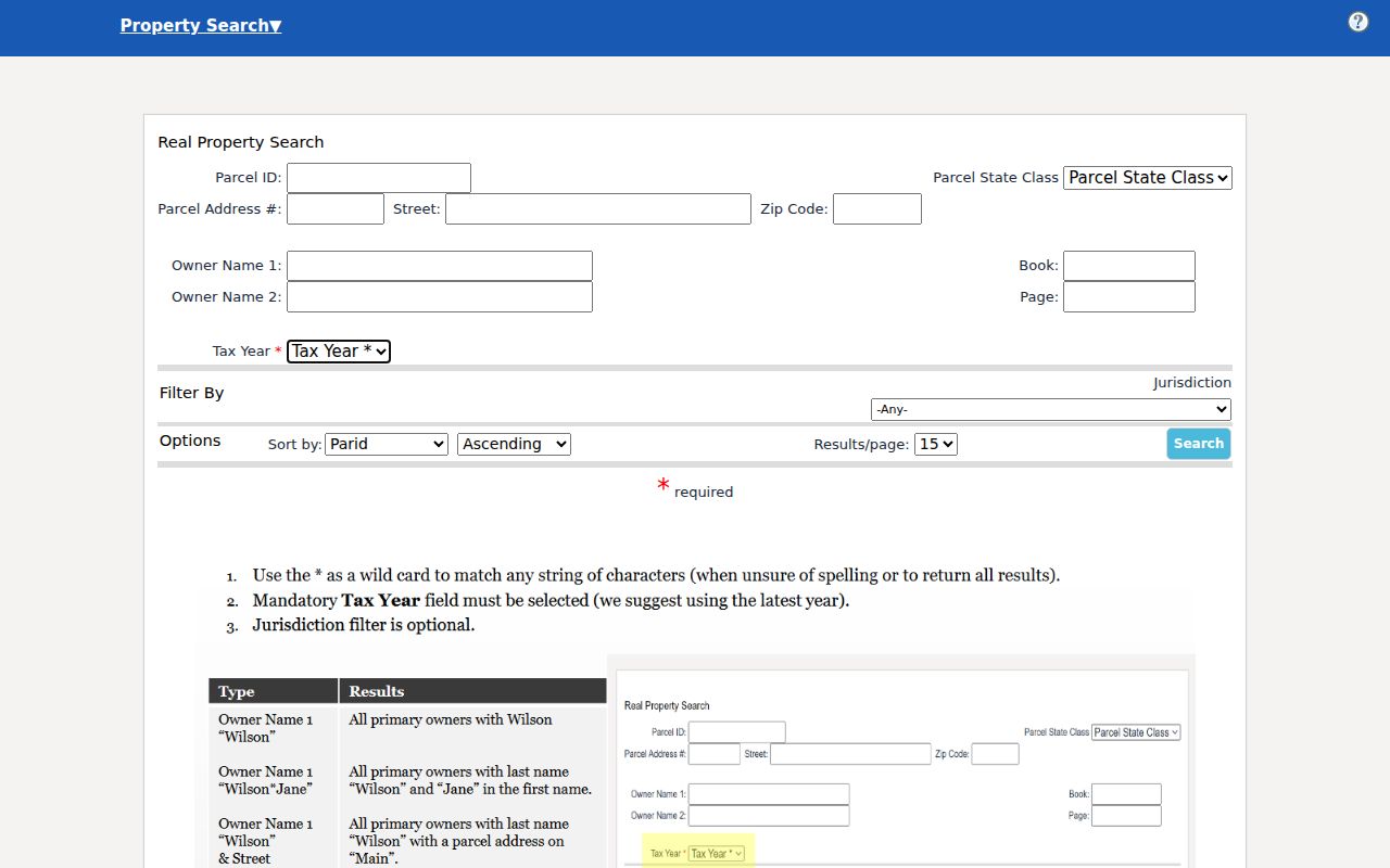
The search form itself is the starting point; a parcel result card appears once a query runs.
Monroe County Deeds Have a Counter Route
The County Clerk is the official recorder and keeper of deeds, deeds of trust, mortgages, releases, plats, wills, probate, and other legal papers. The office publishes no public online grantor-grantee index. Ask whether a staff search or public terminal can work. It can draw on a grantor, grantee, book/page, parcel reference, or legal description. A written request should state the likely recording period. It should also say whether you need an ordinary or certified copy.
The courthouse page lists 350 Main Street in Union. It is open weekdays 8:30 a.m. to 4:30 p.m. with a noon-to-1 p.m. lunch closure. The posted fee schedule, marked updated June 2021, lists a $27 minimum deed charge before additional items. It also lists separate copy costs, so confirm the current invoice. An index search, a copy, and recording a new instrument are three different services.
The Monroe County Clerk's page confirms the local custodian and its contact route.
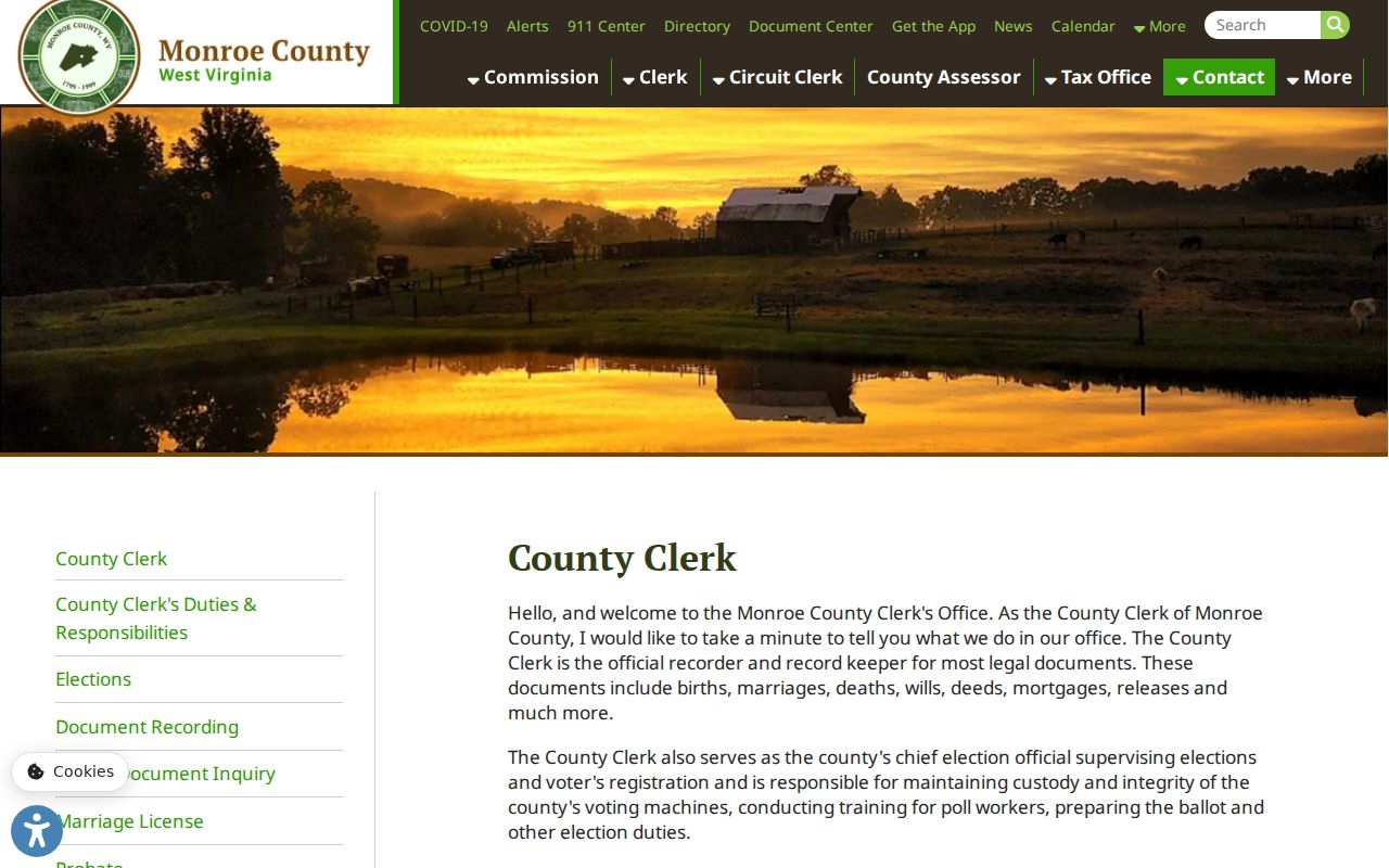
Even when an archive helps locate a historic volume, the clerk remains the source for an official copy.
Monroe County Property Record Sets
One parcel can show up in several systems without those entries meaning the same thing. A tax roll links an owner name to an assessment account. A deed states the transfer as recorded. A circuit docket shows a filed case or court action, while a permit relates to work on land or a structure. The table keeps those roles distinct and points to the right custodian.
| Record Type | What It Documents | Kept By | Access |
|---|---|---|---|
| Deeds, plats, mortgages, releases | Recorded transfers, land descriptions, liens, and later releases | Monroe County Clerk | Counter, phone, or written request; no public deed index located |
| Assessment and property roll | Parcel account, class, assessment, owner-name search fields, tax year | Assessor / WV State Auditor IAS | Public IAS form; parcel-result fields were not captured |
| Tax bills and payment status | Installments, amount due, payment, delinquency, collections | Sheriff / Treasurer | County tax office, mail, in person, or online inquiry route |
| Certified-to-state land | Tax year, district/map/parcel, taxpayer, purchaser, certificate, status | WV State Auditor | Land and County Collections portal |
| Court cases | Foreclosure, partition, quiet title, lien enforcement, orders | Circuit Clerk / courts | WVPASS, local clerk, and public files in CourtPLUS/Vault |
| Permits and site plans | Improvement work, applicant, owner statement, floodplain or planning review | County planning / 911 / municipal clerk | No public permit search located; ask the custodian |
A deed chain lives in Monroe County deed records, while billing and payment context lives with Monroe County property tax records. Each record answers a different question. Parcel maps, owner-of-record details, and value interpretation each call for their own search. No single result pulls together every legal, tax, and physical fact about a piece of land in Monroe County.
The July 1 Monroe County Assessment
Monroe County property gets a fresh assessment every July 1. That date anchors the whole tax year. West Virginia law puts assessed value at 60 percent of true and actual value. The math shifts with property type and valuation method. The Tax Division's value explanation lays out how market value and assessed value differ. The county assessor handles the local description of each parcel in the property records. The assessor also handles the classification. One caution: an assessment is a tax base, never a sale quote. A recent deed does not automatically pull the assessment up to the purchase price.
Two different amounts can attach to one parcel besides the consideration. There is the full-value estimate. There is the assessed amount plugged into the tax calculation. And there is the consideration named in the deed records. Each answers a different question. Transfer-stamp data on a recorded deed may capture a real transaction. But gifts, family transfers, corrections, and non-arm's-length deals make poor market comparisons. Exemptions muddy the water further. They can change the tax bill without touching the underlying market value. When you compare figures, stick to the same parcel and the same year. Note which record supplied each number.
West Virginia Code §11-3-1 sets the annual assessment rule that governs this process.
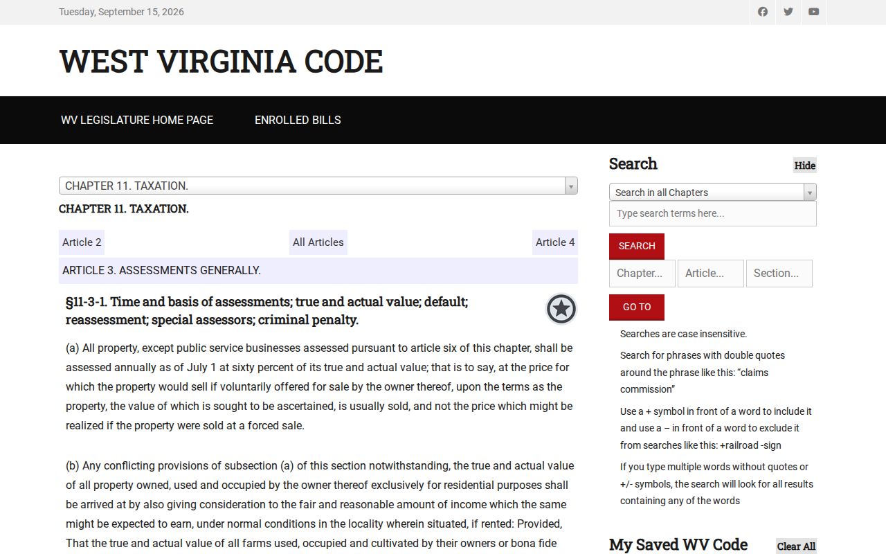
The ratio explains a tax base, not what a parcel would sell for today.
Monroe County Tax Bills and Due Dates
The Sheriff's Tax Office takes the assessed values. It calculates bills using levy rates set by the county commission and other taxing bodies. County material says bills generally go out in July. They cover the July 1 through June 30 fiscal year. The first installment is payable September 1 and turns delinquent after October 1. The second is payable March 1 and delinquent after April 1. Monroe County accepts cash, credit, and personal checks. Payment works in person, by mail, or through the online inquiry route. Land certified to the state works differently. The State Auditor's Land and County Collections form asks for tax year and county. It then accepts district, map, parcel, subparcel, certificate number, taxpayer, purchaser, bidder ID, description, ticket, account, and status. It also links redemption instructions, a Notice to Redeem, and the purchaser's Affidavit of Exhaustion. Take bill and receipt questions to the sheriff. Take certified-to-state questions to the Auditor form. Sale notices and dates shift, so confirm details on the live portal before acting. The county tax office page lists local due dates and payment routes.
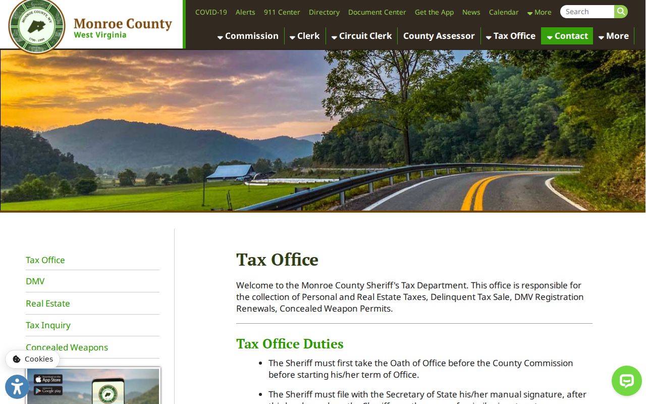
Use the current page for payment details; an old assessor value does not prove a bill is still unpaid.
Monroe County Parcel Maps Need a Plat
The county directory assigns mapping and floodplain duties to the 911 office. That office lists a Mapping / Flood Plain contact. Monroe County publishes no public parcel viewer or downloadable GIS page. Do not assume a map search exists. The same goes for an adjacent-parcel tool, ownership popup, aerial layer, or export option. Call the mapping contact instead. Ask for a specific parcel map, address, floodplain determination, or retired parcel reference.
Recorded plats are county-clerk records. Request the subdivision name, lot and block, book or cabinet, dedication, right-of-way, and vacation documents. Older rural Monroe deeds often rely on acreage, creek, ridge, or road descriptions. They may also use survey calls, courses and distances, or adjoining owners. A mailing address can help staff locate a tract. Still, the deed's legal description and recorded plat are stronger land keys. A licensed surveyor is the only route to a formal boundary conclusion.
The county directory is a contact route, not a parcel viewer. The Planning Commission page covers development approvals, subdivision proposals, site plans, and public hearings.
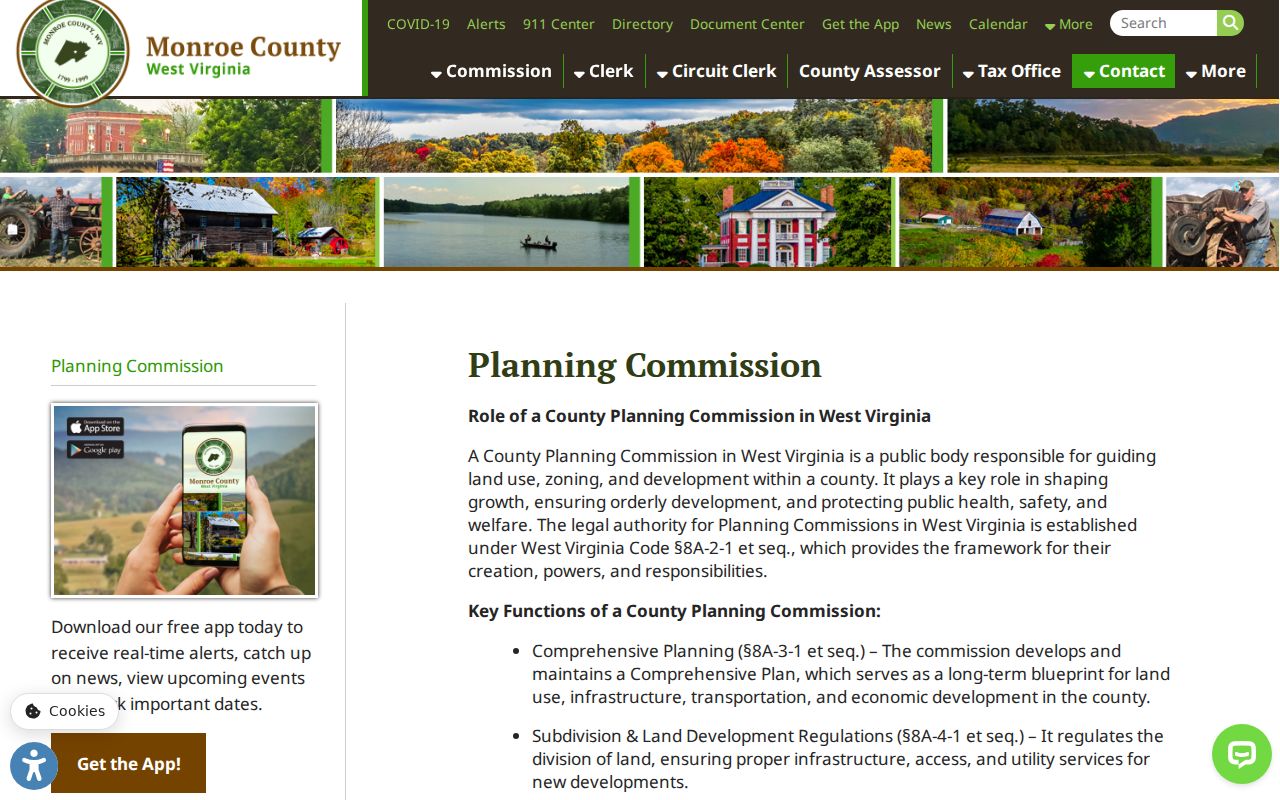
Planning records add development context, but they never replace the recorded map or a survey.
Alderson Property Records Cross Counties
Alderson sits in two counties. The Greenbrier River splits it between Monroe and Greenbrier. A mailing address that says Alderson cannot settle this. It cannot tell you which clerk or assessor holds a parcel. Check the county, tax jurisdiction, and deed description first. Search a second county only when the boundary is uncertain. Do it when the deed trail points across it, not as a routine duplicate search. This is a records-geography quirk, not a separate city recorder system. The comprehensive plan describes an old established core, historic buildings, and limited sprawl. Parcels like these may carry older indexing. They may use lot-and-block references, older rights-of-way, river frontage, church transfers, or recorded plats. Confirm official subdivision names and plat books with the clerk or mapping contact. The Monroe planning commission is the permit route; Alderson itself offers no permit portal. Ask the relevant county custodian for an improvement-location permit, site plan, or floodplain record. Use the address and parcel ID. For a river-side parcel, compare the legal description against the actual county line. A tax map is not a survey. It cannot settle a cross-county boundary.
Monroe County Communities and Census Place Counts
Peterstown counted 448 residents in 2020. Union came in at 419. The Census Bureau's incorporated-place table holds those figures for every West Virginia community. They give useful scale for Monroe County. They are not parcel counts. They are not tax accounts either. They say nothing about boundaries for a postal address. Alderson adds its own wrinkle. The river there splits Monroe from Greenbrier County, so an address bearing its name can fall on either side. Route a land-record search by parcel jurisdiction and legal description. The Census Bureau's incorporated-place table identifies the incorporated communities and their population counts. It does not show the location of an individual parcel.
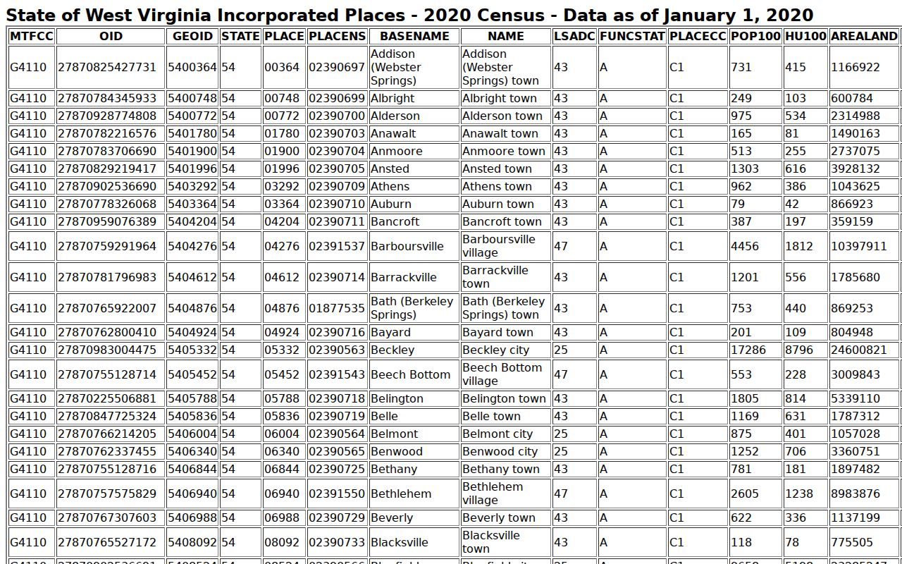
A place population counts people, not parcels or owners.
Monroe County Deed Indexes Reach 1776
Monroe County deed records reach back to 1776. The date predates the county's 1799 founding and West Virginia's 1863 statehood. The West Virginia Archives microfilm guide lists a deed index running from 1776 through 1935, along with land-book runs that include West Side volumes from 1863 to 1865. The span is offline and archival. A modern website does not search those years.
Start with the newest deed the County Clerk holds. That is the anchor. Read the grantor, the cited book and page, and the full legal description. Then work backward. Parcel identifiers, road names, county lines, and family names all change over the decades, so follow the land description rather than any label. WVU Archives describes a Monroe court-record collection with selected tax books and a deed survey book. FamilySearch catalogs Monroe court records from 1789 to 1887, including an execution book from 1813 to 1820. Neither catalog substitutes for a certified county copy. The State Archives finding aid pinpoints the deed and land-book runs.
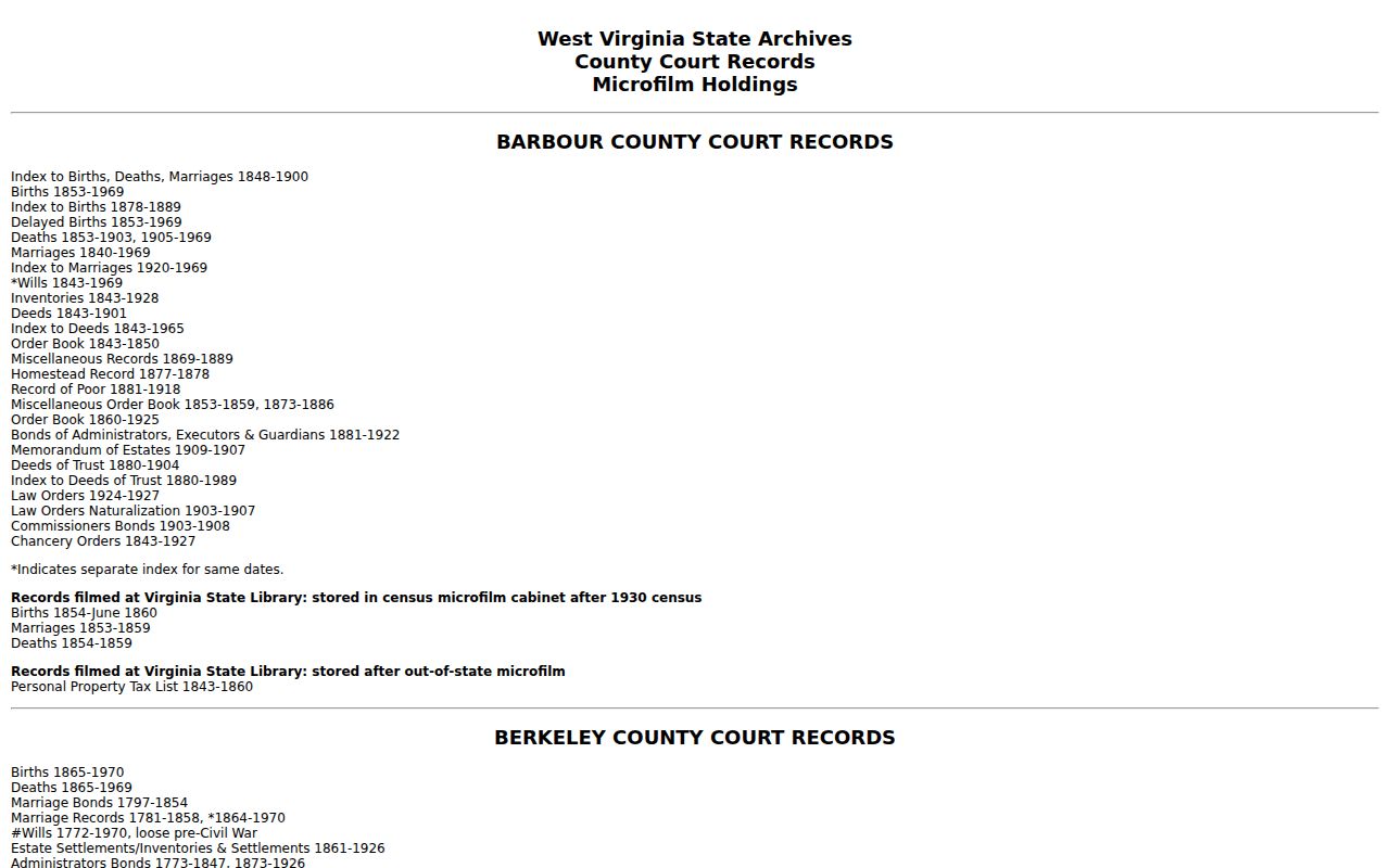
The microfilm guide locates older volumes; the custodian confirms access and copy options.
Monroe County Records by Written Request
Permits, tax histories, maps, and meeting files in Monroe County often have no public search screen. Write to the office that keeps them. The West Virginia Freedom of Information Act, W.Va. Code §29B-1-3, calls for a response as soon as practicable and within five days, excluding Saturdays, Sundays, and legal holidays. A custodian may charge actual reproduction costs. Search and retrieval labor is not billable. An electronic record should arrive electronically when it exists in that form and is requested that way.
Describe the record precisely. Give the district, map, and parcel, the situs address, the parties, the date span, the record type, and your preferred format. Ask for a fee estimate when copying is likely. A denial should state its reason and the route for court review, so keep the request and reply for any follow-up on an archive referral, a fee, or a missing year.
At the courthouse, bring a parcel number, a printed map, names, dates, and any old book and page clues. The Clerk closes for lunch. The Assessor's posted closing time is 4:20 p.m. Call first if the drive is long.
What Monroe County Records Do Not Prove
A Monroe County tax roll, deed, court docket, permit file, and parcel map each prove different things. The Assessor's owner field is administrative. It can lag a recent closing. A deed records a conveyance, yet it may not reveal every unrecorded claim. A lis pendens flags litigation, not title. Read a court order with later releases and land records, and remember that a map line is reference geometry rather than a survey while a tax value is not an appraisal.
Lawful use. Monroe County records support due diligence, property history, tax review, and civic research. Do not use owner information to stalk, harass, threaten, or harm anyone, and do not treat a database result as legal advice.
Monroe County Court Access Has Limits
WVPASS launched statewide circuit-record searching on March 10, 2025. It spans all 55 counties. It covers circuit and magistrate information statewide, so a Monroe County case search can surface foreclosure, partition, quiet title, lien enforcement, or probate activity. Search party names and case names as well as an address, since a docket may not be indexed by parcel. The Monroe Circuit Clerk remains the local path for public pleadings, orders, and files that never reach the internet.
CourtPLUS is the case-management system. Vault stores the scanned paper files. Neither one is a deed index. E-filing serves registered user classes, and self-represented parties may paper-file. Sealed, juvenile, and confidential material stays off limits. Older Monroe cases may lack a scan. Use a case number to ask the clerk whether a file sits in Vault, on a local terminal, or off site. Read any final order alongside later releases and land records before drawing a title conclusion.
The judiciary's public access page starts the WVPASS search. The judiciary's CourtPLUS and Vault overview explains both systems.
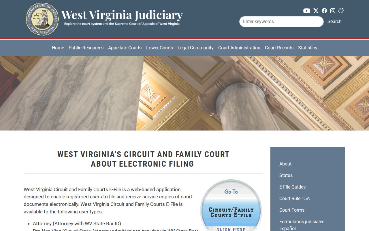
CourtPLUS manages case information. Vault holds the scanned files. Neither system is the Monroe County deed index. For eligible survivors who need a substitute address, the West Virginia Address Confidentiality Program explains enrollment through an approved victim-service assistant, though it does not erase every older record.